Veritree: Monitoring Mangrove and Afromontane Forest Restoration Projects in Kenya
Veritree: Monitoring Mangrove and Afromontane Forest Restoration Projects in Kenya

Kenya is famous for its diverse wildlife and forests that have long supported local communities. In recent decades, Kenya’s forests have experienced extreme environmental degradation from activities like logging, charcoal burning, and clearing for settlements and farmland. In response to these trends, Kenya debuted Vision 2030, a program committed to achieving 10 percent national tree cover by 2018. As of 2022, Kenya had surpassed this goal, reaching 12.1 percent tree cover. The Kenyan government also aims to plant five billion trees in the next five years, ten billion in the next ten years, and fifteen billion in the next fifteen years.
The Kenyan government and partner tree-planting organizations use the veritree toolset to monitor mangrove and Afromontane forest restoration projects that contribute to Kenya’s forest cover goals. Tools from the veritree toolset are used to assess ground-based interventions at the three phases of tree-planting: 1) data collection to establish a baseline before planting; 2) counting trees and collecting species data during planting; and 3) measuring impacts after planting. The veritree toolset is useful because it allows government and non-government organizations, tree-planting implementers, managers, and funders to access data and reports through a single integrated platform.
EarthLungs Reforestation Projects, a Kenyan non-for-profit, uses veritree in pre-planting assessments. In these assessments, the tree-planting area is mapped and data are geo-referenced within the resulting polygon. The pre-planting assessment considers: the drivers of degradation, land ownership, land use and land cover, and seed source. The assessment also undertakes a baseline impact assessment over ten impact areas: soil, water, climate, biodiversity, food, energy, income, well-being, opportunity and equity. The assessment methodology and indicators are adapted from the Road to Restoration and Millenium Ecosystem Assessment guides.The assessment methodology and indicators are adapted from the Road to Restoration and Millenium Ecosystem Assessment guides.
Veritree is also used to map permanent reference sites that act as a baseline for monitoring. These sites are determined by the Kenya Forest Service. For example, the Kenya Forest Service designated 20 x 20 meter reference sites in forest planting project areas such as a 500 hectare mangrove area in Mbuguni in Kwale and a 1,800 hectare terrestrial site in Old Bonjoge.
The pre-planting assessments are then used to create a baseline. The veritree platform and app are used in combination with socioeconomic surveys, drone mapping, soil and water sampling, and DNA testing to create models and baseline assessments of the tree-planting areas. The veritree app is used to georeference and timestamp soil and water sample data. These data can then be linked to the 3D models of trees and landscapes that are produced with measurements taken by drones. This process showed, for example, that surface temperature was high in degraded mangrove areas where there was charcoal harvesting that left bare land.
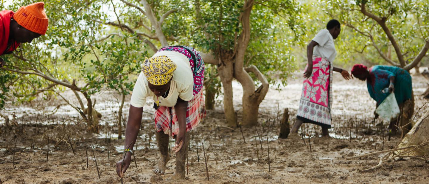
Various organizations in Kenya are using veritree to report on the tree-planting phase of landscape-scale restoration projects in mangrove coastal habitats and in the Afromontane Kijabe Forest Regions. The veritree Collect tool, which allows users to collect photos and manually input data as well as categorize photos and survey forms submitted from the field, supports standard inventory data-collection processes. Tree-planting organizations use the veritree Collect tool to capture georeferenced data on tree species, health or condition, diameter, height, and distance to plots in previously planted regions. They also use veritree to identify restoration zones, record planting activities, and report on planting activity inventory and survivability.
Field data collected with veritree is analyzed and summarized by remote veritree teams. Once data are verified by management staff within tree-planting organizations, the field data is displayed on the veritree monitoring dashboard mapping tool to create visual representations of tree-planting projects. The aggregated data is then summarized for project reports to be shared with funders, the Kenya Forest Service, and other interested stakeholders.
In the post-planting impact assessment, users of the veritree tools use the saved baseline assessment metrics to analyze project outcomes. Veritree facilitates collection of lessons learned and challenges faced in the field in addition to ecological and socioeconomic data. All the data collected in veritree are uploaded to blockchain, meaning that there is a permanent ledger with the aim of supporting transparency in restoration projects.
One of the advantages of the veritree toolset is that funders of the tree-planting projects can access data directly via their veritree login portal and dig into the details of each submission and project. This makes veritree valuable for maintaining existing funding and securing new sources of funding. Funders of projects are excited to see on-the-ground, real-time updates from planting activities with the personal touch of the forms being submitted by staff in remote communities. The offline functionality of veritree tools in places without reliable internet connection also ensures a steady flow of data, which helps funders feel more confident in their contributions to an array of projects. Additionally, the simplicity of the veritree tools (which uses icons instead of text), enables broad rollout with local staff from various language zones.
Still, technology has its limitations in challenging environments and terrain. In this application, extreme heat, mud, and other environmental challenges prevented teams from filling large inventory forms on devices with limited battery capacity. To address this problem, the veritree data collection tools were modified to accept pencil and paper submissions through a photo snapshot of a paper form. This update allows veritree users to capture photo metadata such as GPS, time and date stamps, and polygon identification even when they are offline. Users have requested the ability to add additional context (such as “field notes”) to photos, and this will be added in a future update. Veritree is also developing the ability to track which application versions are on all deployed devices. The veritree toolset continues to adapt to serve users as an important instrument in monitoring forest planting and restoration projects.

